Climate Change in Australia
Climate information, projections, tools and data
Reports

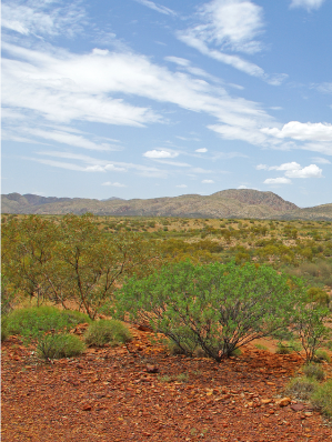
MacDonnell Ranges, Northern Territory
Technical Report
The Technical Report is intended to provide detailed information for researchers and decision makers.
It is a comprehensive report outlining the key climate change projection messages for Australia across a range of variables. The report underpins all information found in other products, including this website. It contains an extensive set of figures and descriptions on recent Australian climate trends, global climate change science, climate model evaluation processes, modelling methodologies and downscaling approaches. The report includes a chapter describing how to use climate change data in impact assessment and adaptation planning.
You can download the full report or individual chapters as PDF files.
Full report
![]() CCIA Projections Technical Report (23.4 MB)
CCIA Projections Technical Report (23.4 MB)
Individual chapters
![]() Table of contents and acknowledgements (931.8 KB)
Table of contents and acknowledgements (931.8 KB)
![]() Chapter 1 - Introduction (304.9 KB)
Chapter 1 - Introduction (304.9 KB)
![]() Chapter 2 - User needs and regionalisation (879.0 KB)
Chapter 2 - User needs and regionalisation (879.0 KB)
![]() Chapter 3 - Global climate change science (2.0 MB)
Chapter 3 - Global climate change science (2.0 MB)
![]() Chapter 4 - Understanding recent Australian climate (2.0 MB)
Chapter 4 - Understanding recent Australian climate (2.0 MB)
![]() Chapter 5 - Evaluation of climate models (3.8 MB)
Chapter 5 - Evaluation of climate models (3.8 MB)
![]() Chapter 6 - Climate change projection methods (1.3 MB)
Chapter 6 - Climate change projection methods (1.3 MB)
![]() Chapter 7 - Projections: Atmosphere and the land (5.6 MB)
Chapter 7 - Projections: Atmosphere and the land (5.6 MB)
![]() Chapter 8 - Projections (and recent trends): Marine and coasts (3.7 MB)
Chapter 8 - Projections (and recent trends): Marine and coasts (3.7 MB)
![]() Chapter 9 - Using climate change data in impact assessment and adaptation planning (1.9 MB)
Chapter 9 - Using climate change data in impact assessment and adaptation planning (1.9 MB)
![]() Chapter 10 - Research directions (1.0 MB)
Chapter 10 - Research directions (1.0 MB)
Cluster Reports
Cluster Reports are intended to provide regional detail for planners and decision makers
The Cluster Reports, for eight regions of Australia , are to assist regional decision makers in understanding the important messages deduced from climate change projection modelling. The Cluster Reports present a range of emissions scenarios across multiple variables and years. They also include relevant sub-cluster level information in cases where distinct messages are evident in the projections.
Use the links below to download individual Cluster Reports as PDF files:
![]() East Coast - updated in 2021 (2.7 MB)
East Coast - updated in 2021 (2.7 MB)
![]() Southern & South Western Flatlands (14.4 MB)
Southern & South Western Flatlands (14.4 MB)
------------
Page updated 24th December 2020


